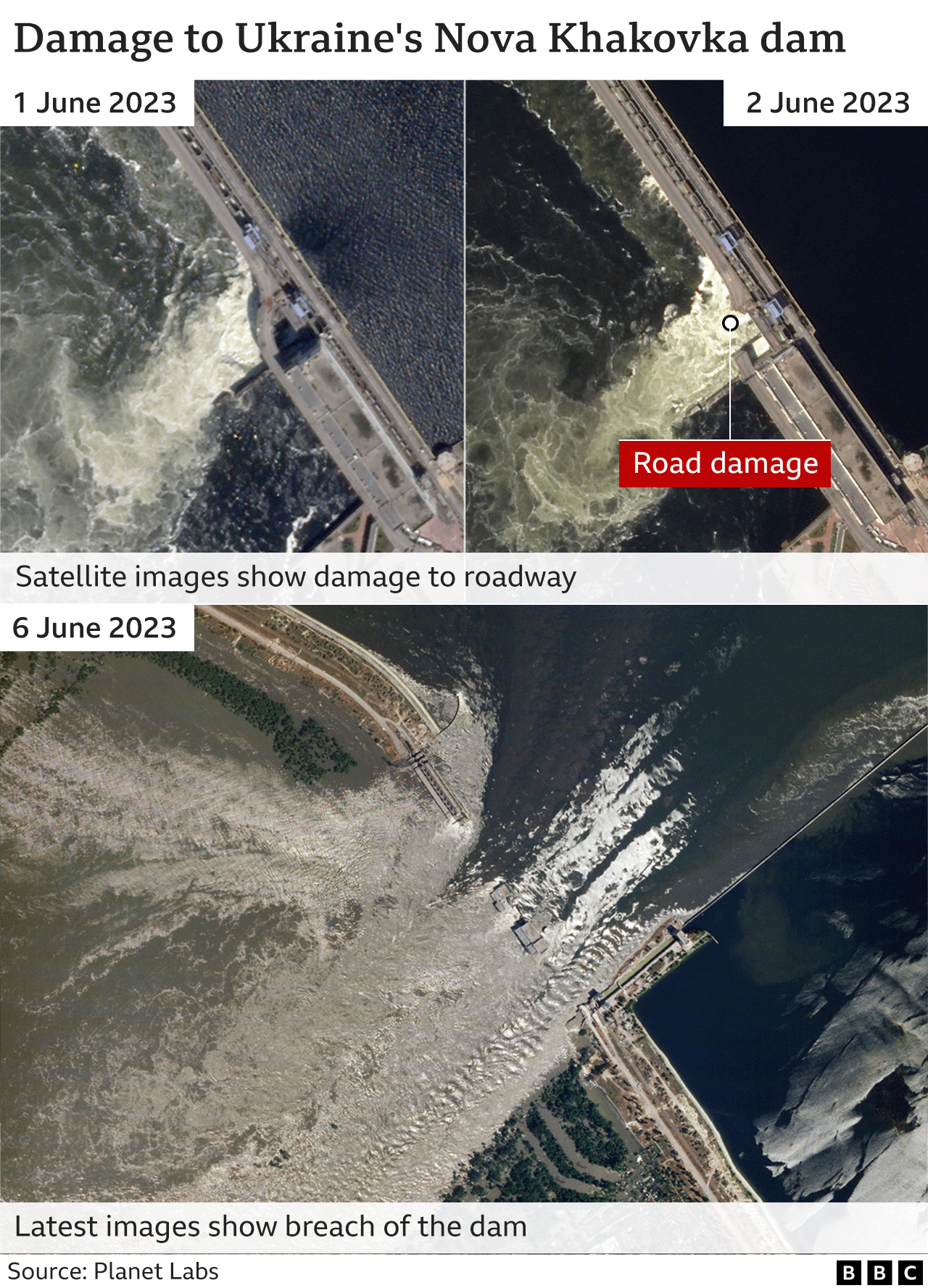
Images supplied by Maxar technologies cover more than 2,500 square km and give some idea of the scale of the destruction
- Russia-Ukraine war – latest news updates
Satellite images from Ukraine have revealed the extent of the flooding in the country’s south, after the region’s Kakhovka dam and hydroelectric station were largely destroyed.
The critical dam, which lies along the Dnipro River in Ukraine’s Kherson region – now held by Russia – collapsed on Tuesday, flooding a swathe of the war’s frontline.
Continue reading…


